Lake History
OUR WATERS
Discover the Marble Chain of Lakes
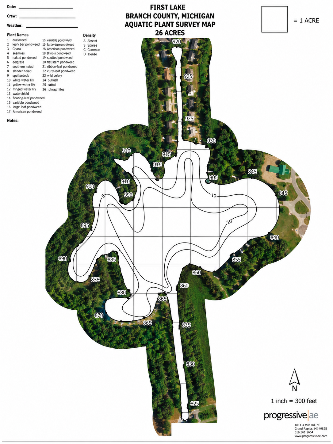
The Coldwater Marble Chain of Lakes is a defining part of Branch County, connecting a remarkable series of lakes from the Quincy area south toward Coldwater. First Lake marks the northern beginning of the chain, which continues through Marble, Middle, Archer, Bartholomew, Mud, Long and Coldwater Lakes.
More than a recreational destination, these waters tell the story of the region itself. Over generations, the lake system has been shaped by settlement, industry and the development of navigable channels, eventually becoming the connected lake community enjoyed today.
MARBLE LAKE
A Rich Part of Local History
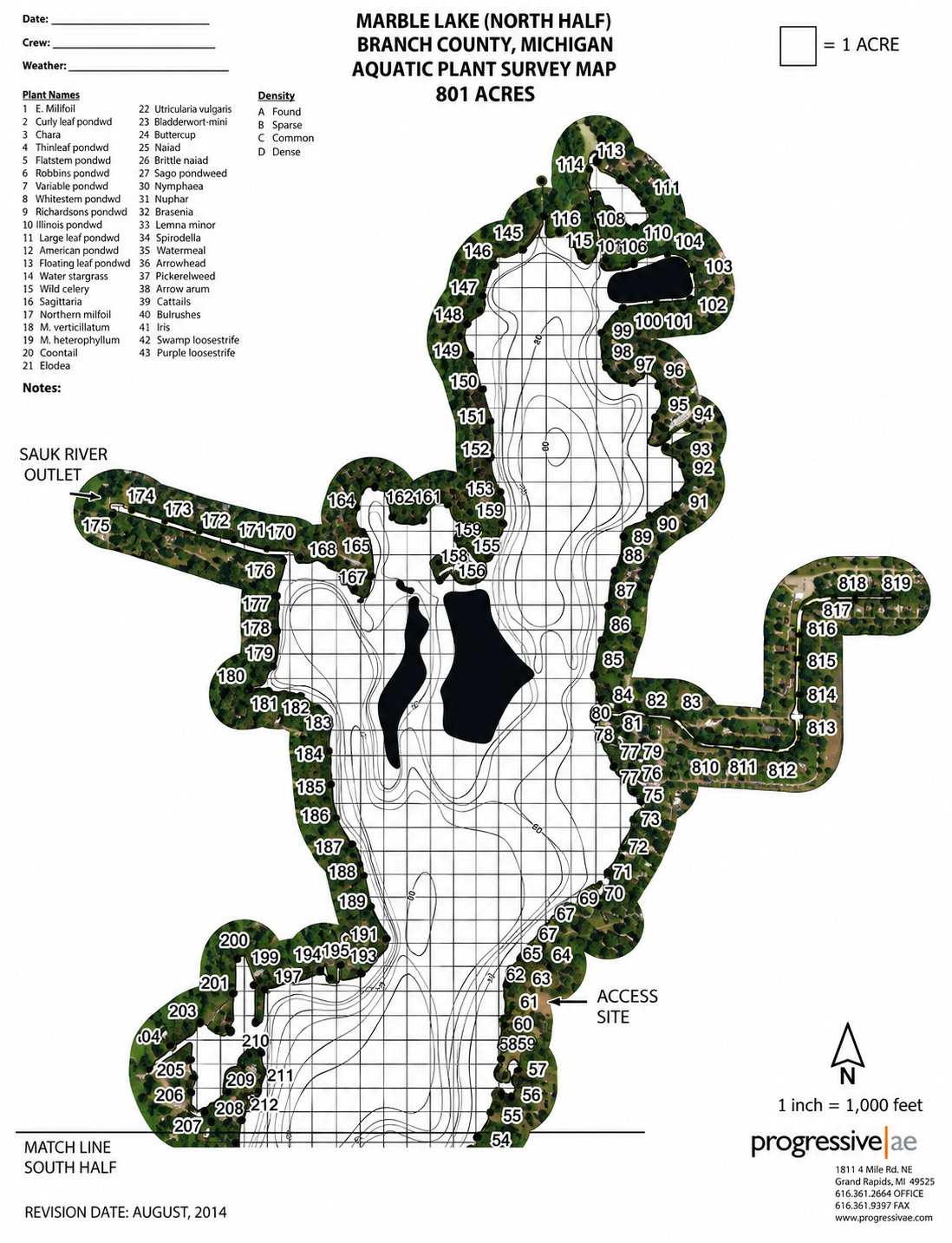
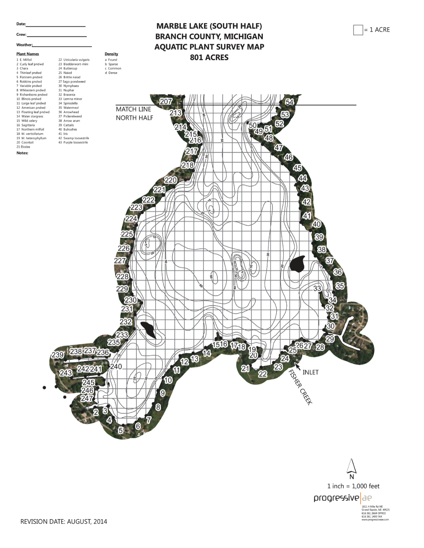
Marble Lake near Quincy, Michigan has a surprisingly rich history, especially because of its connection to the early settlement of Quincy, the railroad era, the cement industry, and the development of lake resorts. Marble Lake covers roughly 780 to 850 acres and reaches depths of around 60 feet at its deepest point and is part of the connected Marble-Coldwater chain of lakes in Branch County.
Marble Lake is a glacially formed lake in the Coldwater River drainage. Geological surveys from the late 1800s/early 1900s described Marble Lake as one of the largest lakes in the chain between Quincy and Coldwater. The surrounding sandy deposits were associated with ancient glacial drainage.
The lake’s name is particularly interesting: “Marble” refers not to actual marble rock, but to the extensive deposits of marl found in the lake. Marl is a calcium-carbonate-rich sediment, often formed from shells and other aquatic material.
The Quincy area began being settled around 1830. An early history of Branch County records the first land entries in the township beginning in the period and specifically identifies Marble and neighboring lakes as an important geographic feature southwest of the developing village.
The lake was therefore part of the landscape encountered by the first settlers of Quincy rather than being something created or significantly altered by modern development.
By the late 19th and early 20th centuries, Marble Lake had become much more accessible. A Michigan geological survey described the lake as extending about three miles south from Quincy and noted that it was easily accessible by the Hillsdale-Adrian branch of the Michigan Central Railroad.
The accessibility helped transform the lake from simply a natural feature into a recreation and vacation destination.
There is actually photographic evidence of this era. The University of Michigan’s David V. Tinder collection contains a 1906 postcard of Prospect Point of Marble Lake, explicitly identifying hotels, resorts and cottages as subjects. So, people were already vacationing on Marble Lake at least by the early 1900s.
The lake contained large deposits of marl, and those deposits were commercially mined and used in the manufacture of Portland cement at the Quincy cement mill. A State geological publication says the deposits in Marble Lake were eventually “virtually exhausted,” while marl deposits in lakes farther south in the chain continued to be worked.
The mining wasn’t insignificant. The historical account describes steam shovels removing marl, leaving abrupt Transitions into deep water. In other words, some of the lake’s underwater characteristics and shoreline were actually altered by the industrial activity. That’s a fascinating piece of local history that isn’t immediately obvious when looking at the lake today. As the 20th century progressed, Marble Lake increasingly become a summer recreation destination.
The old postcards are good evidence of this. The University of Michigan has a 1952 postcard of Wildwood Beach on Marble Lake, with the collection categorizing the image under hotels, resorts and cottages. The postcard even contains a handwritten reference to fishing on the lake.
So, by the 1950s, the lake had an established cottage/resort culture, with families coming for swimming, fishing and summer vacations.
Today, Marble Lake remains part of the larger connected Marble-Coldwater chain, which is one of the defining natural features of the Quincy area. The Village of Quincy master plan describes First Lake and Marble Lake as the northern portion of the chain and notes their importance for recreation, wildlife and seasonal/year-round residents.
LOOK THROUGH
Archer/Middle/Bartholomew Lakes
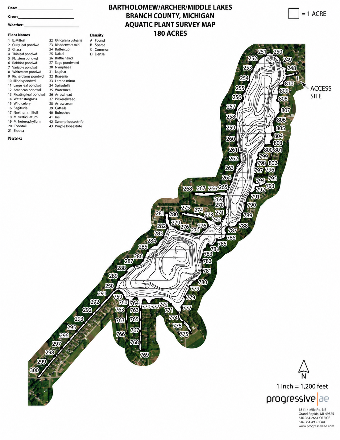
The Tri-Lake Basin: Archer Lake, Middle Lake, and Bartholomew Lake are situated adjacent to each other southwest of Quincy and north/east of Coldwater, functioning essentially as a continuous body of water separated only by minor narrows and channels. These lakes form a critical linkage within the 17-mile-long Marble-Coldwater chain of lakes in Branch County.
- Archer Lake: Covers approximately 64 acres with depths reaching approximately 35 to 36 feet.
- Middle Lake: Extends roughly one mile in length and half a mile in width, based on the earliest fishery survey.
- Bartholomew Lake: Spans approximately 80 to 87 acres with a maximum depth of 56 feet, making it the deepest of the three lakes.
- Fishing and Recreation: The lakes support warm-water fisheries featuring species such as bluegill, largemouth bass, smallmouth bass, northern pike, and walleye. Local access and boating amenities are supported by nearby marine services, including Archer Lake Watersports.
Early Settlement & the Bartholomew Family
A significant historical reference is an old history of Algansee Township preserved by the Branch District Library. It describes early township conditions as heavily timbered, with some open oak plains.
Early Lake & Fisheries Surveys
The Michigan State Board of Fish Commissioners carried out an extensive survey of Branch County lakes in 1885–1886. Their description of Middle Lake states it was approximately one mile long, half a mile wide, with a depth of 36 feet, featuring a soft-mud shoreline, a somewhat elevated eastern shoreline, and an abundant fish population.
Glacial Lakes, Marl & the Cement Industry
The interconnected lake system exhibits a unique dual history: originating as natural glacial lakes, followed by agricultural settlement, marl extraction, the development of artificial and navigable channels, and ultimately becoming a recreational lake chain. This industrial history is particularly significant because marl was a valuable resource for cement manufacturing in this region of Michigan.
Mud/Wright Lake
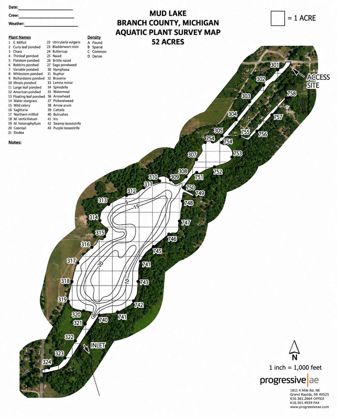
Mudd Lake (commonly referred to as Mud Lake) in Coldwater, Michigan, is occasionally identified by some individuals as Wright Lake. This area comprises a shallow, vegetation-rich body of water linked to a local chain of five lakes culminating at Marble Lake in Quincy.
This body of water is part of the historic Coldwater-Marble Chain of Lakes; a system of interconnected lakes located within Ovid Township and the surrounding Coldwater region. The chain includes Coldwater Lake, Long Lake, Mud/Wright Lake, Bartholomew Lake, Archer Lake, Middle Lake, and Marble Lake. The Michigan Department of Natural Resources (DNR) fisheries report provides mapping of the system and its connecting waterways.
Historically, Mud Lake appears to have functioned as a relatively small lake within this larger network rather than as an isolated body of water. Current property records and real estate descriptions in Branch County indicate the existence of Mud Lake Drive and waterfront properties associated with the lake and its channel system, demonstrating the continued usage of the name over several decades.
LOOK THROUGH
Long Lake
Long Lake, located near Coldwater, Michigan, was formed thousands of years ago by retreating glaciers and is situated within the South Channel of the lake system originating from Marble-Coldwater. The lake encompasses approximately 123 acres at coordinates approximately 41.85° N, 84.967° W.
A Glacial Lake & Early Landscape
This body of water resides in an area heavily shaped by the Wisconsin Glacial Stage, resulting in a complex network of interconnected waterways and lowland terrain within Branch County. When European-American settlers initially arrived in the region, it was characterized by numerous lakes, streams, wetlands, and forested areas that provided abundant opportunities for hunting, fishing, and seasonal camping. Historical records from around 1879 indicate that Long Lake was identified as one of two primary lakes in Ovid Township, alongside Lake of the Woods. Recognized as a natural feature, the lake predates modern subdivision or resort development. Long Lake is part of an interconnected aquatic system that includes Mud/Wright Lake, Bartholomew Lake, Archer Lake, and Marble Lake, ultimately integrating into the broader Coldwater Lake recreational network.
Changes to the Waterways
In the mid-19th century, the region’s hydrology was further modified by local marl mining operations and the construction of a dam on the Coldwater River near Hodunk in 1847. Over subsequent decades, Long Lake transitioned from a remote wilderness and agricultural frontier into a popular residential and recreational destination, known for boating, fishing, and community associations within the greater Coldwater area.
Long Lake in the Early 20th Century
By the early 20th century, the lake remained relatively undeveloped. A significant historical record is the Michigan Department of Conservation fishery survey conducted during 1941–1942.